Land Lines experiment ” by Google
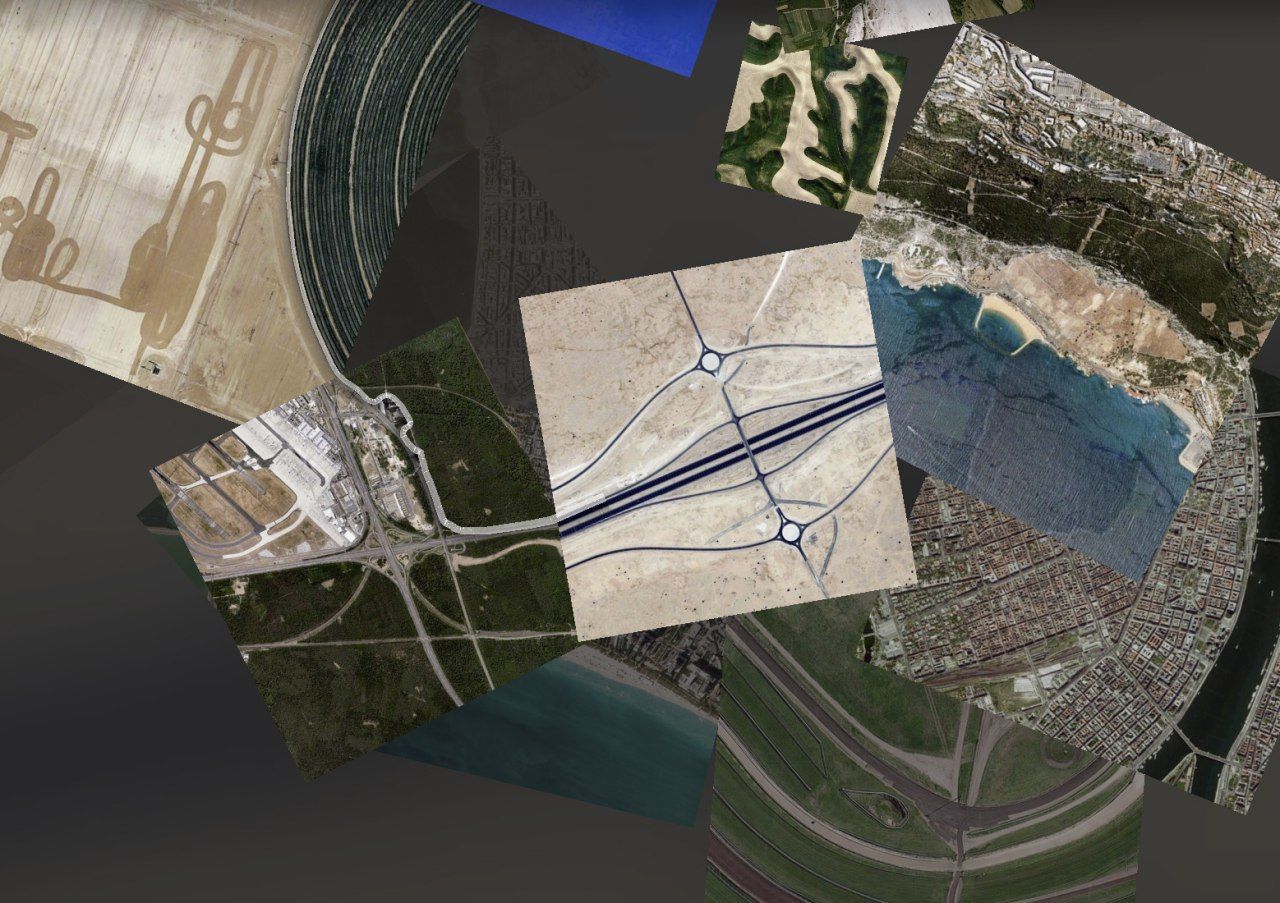
Land Lines – experimental satellite imagery research service from Google. The site includes 2 main functions for the user:
1. Tab “Draw” – selection of a satellite image along the drawn line.
The photo is selected in such a way that the relief on the image repeats the outline of the user’s line.
2. Tab “Drag” – generation of an infinite line.
Press the mouse and move the cursor around the screen. The site will begin to select suitable satellite images so that each subsequent photo is a continuation of the previous one.
Rivers, roads, mountain ranges, coastal relief outlines, etc. act as a relief