It is difficult to get lost in the 21st century, but it is possible. Although popular maps provide up-to-date information for drivers, trails and unofficial roads are not updated as much for pedestrians.
OpenStreetMap is an online map service created by the mapping community. Contains detailed data about paths and hidden roads, it will help you better plan a route or get out when you get lost.
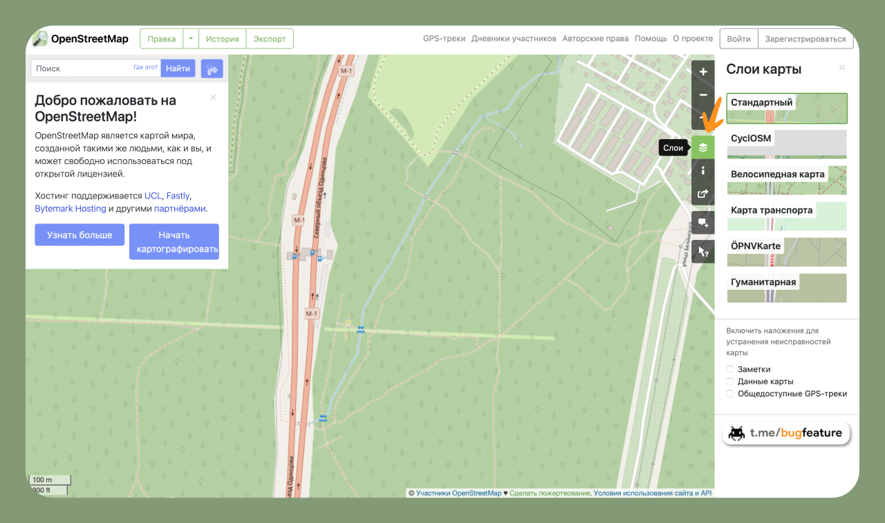
The service contains geographic data from around the world. Although this is a single database, the information can be interpreted and formatted in different ways. Different styles are available behind the “Layers” button: bicycle map, transport map, humanitarian map, etc. are available
Maps are developed by the community. Members include mapping enthusiasts, GIS professionals, engineers running OSM servers, and many more. If you are ready to join and make changes, it is enough to register in the project.