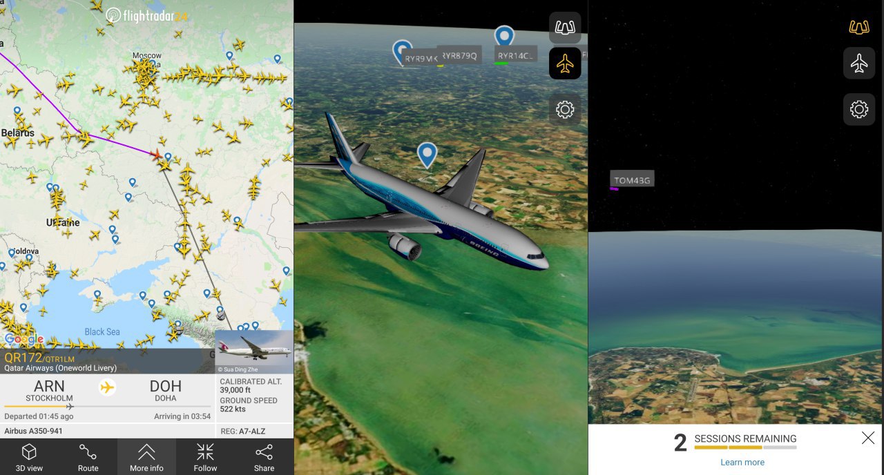
There is a public service Flightradar24 that maps to online mode the position of aircraft on the map.
This is implemented using ADS-B transponders, which are installed on most of the latest generation aircraft.
Each vessel displays coordinates, altitude, distance traveled and speed. To view the information, just click on the aircraft icon on the map.
If information is available in other public sources: aircraft photo, vessel type, landing site, tail number, airline name are displayed etc.
In addition to the website, the service has mobile applications in Google Play and App Store.
In addition to the visual map of the world, Flightradar24 displays a 3D view of the selected vessel, as well as the view from the cockpit.